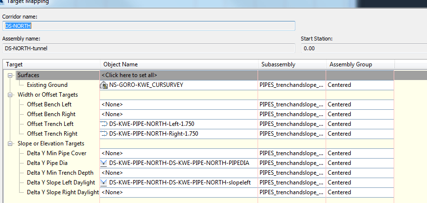
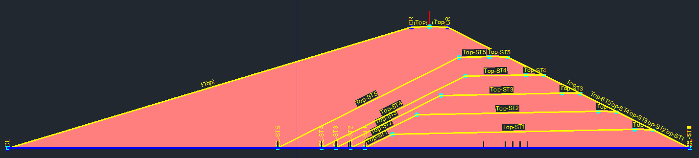
I wish it was possible to put vp-frame content in front of other VP frames
![]()
I am aware that if I define my user-defined properties in settings first. I can then import cogo points with user defined properties.
However what is the point of the “user-defined” field then in the Point File Format – Select Column Name box.
It seems to allow a user defined column name and everything.. But it just doesn’t work!
Or is it Just broken?
![]()
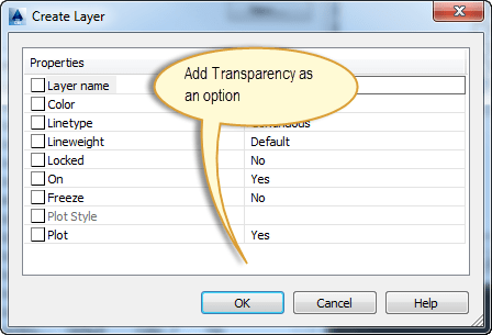
I wish label style dragged states adhered to annotative scaling rules. I.e it is only dragged for 1:200m not 1:2000m.
Potentially it could be dragged by an equivalent scale amount?
The labels below have been moved for 1:20,000m but when zoomed to 1:2,000m cannot be changed as it will change 1:20,000 as well.
![]()
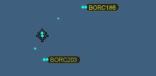
Turning off Dynamic Input Solves the problem.. But still a bug
http://forums.autodesk.com/t5/AutoCAD-Civil-3D-General/OSNAPS-and-Civil-3D-surfaces-Hang-time/m-p/5118568/highlight/false#M252189
![]()
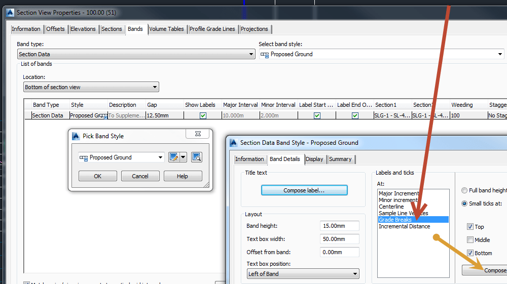
You can probably get what you want by using the surface selection “section 1 and 2”/configuring your styles and removing weeding.
First to help you understand the two section selections
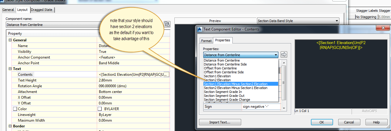
Once you have this worked out you will want to make sure you have a style that is displaying elevations at “grade breaks and using the “section 2 elevations”
Then you should be laughing!
![]()
Not sure if this is fixed in 2015.
if I select cogo points with points number 45,46,47 in that order.. It will prompt me to either (overwrite or <next>)

Overwriting will renumber the points in the incorrect order and sometimes it will delete points that overlap.

Using Next Skips to the next available number. Which is not what I want..
So the only way to do it is to select in the reverse order and it works.. however this is very time consuming if I have 200 points!!!!!! Can it not just start the renumbering from the highest number?
![]()
So many people have never seen this ribbon before in Autocad Civil 3D 2014.
Probably due to the fact that it is not loaded due to a bug in Civil 3D 2014.
It’s really annoying because we are all often asked to display aerial photos into our drawings and it should be as easy as two or so clicks.
EDIT.. by the way, this doesnt plot in 2014, it will plot in 2015 though! You can use the free method explained here to get around this
So if you can’t see this ribbon, here is how to bring it in..
1. Copy the attached CUIX into c:\Autocad\CUI
Download Geolocation.cuix here
2. Type CUILOAD and select the CUIX located at c:\Autocad\CUI\geolocation.cuix
3. Now just assign a coordinate system to your drawing (use MAPCSASSIGN or the drawing settings tab in propsepector)

4. Select what type of background you want (you will need to create an Autodesk Account if you don’t already have one)

5. Then Pow – Bing Imagery straight into your drawing!

Regards
![]()
I want to write on the following topics in the next 2 weeks as part of my Subassembly Composer How-To Guide.
1. Do I even need a custom subassembly?
2. Setting up your subassembly
3. Keeping it logical
4. Fixed and Variable Links
5. Switches and Enumeration
6. Avoiding Duplication and Zeroing out
7. Looping (i.e benches)
8. Making Shape codes work for you
9. Updating to your Projects
10. Naming Conventions and Sharing
Regards
![]()